69620_stlo+ternand+stepaule-160417-MtJoli+Ronzières+StePaule+Vervuis+Polluis

adye
User
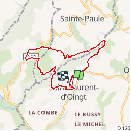

Length
7.7 km

Max alt
433 m

Uphill gradient
206 m
Km-Effort
10.4 km

Min alt
320 m

Downhill gradient
203 m
Boucle
Yes
Creation date :
2016-04-17 00:00:00.0
Updated on :
2016-04-17 00:00:00.0
1h30
Difficulty : Medium

FREE GPS app for hiking
 SityTrail
IGN / Geographical institutes
SityTrail Plus
The world is yours!
About
Trail Walking of 7.7 km to be discovered at Auvergne-Rhône-Alpes, Rhône, Val d'Oingt. This trail is proposed by adye.
Description
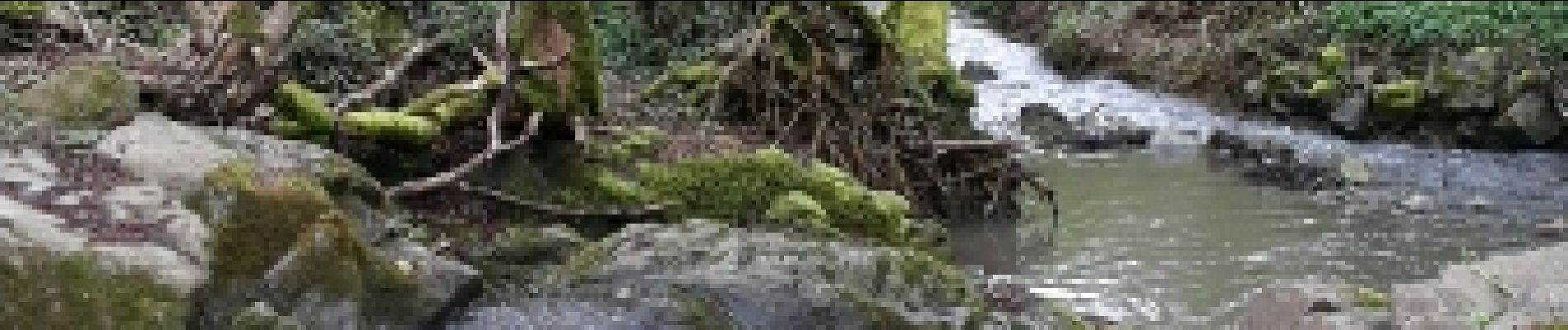
Mont Joli, ruisseau du Vervuis (à traverser s/ pont de fortune), Les Brotteaux (Ternand), Sainte-Paule, Vervuis, Polluis.
Photos


Positioning
Country:
France
Region :
Auvergne-Rhône-Alpes
Department/Province :
Rhône
Municipality :
Val d'Oingt
Location:
Saint-Laurent-d'Oingt
Start:(Dec)
Start:(UTM)
621064 ; 5089134 (31T) N.
Comments